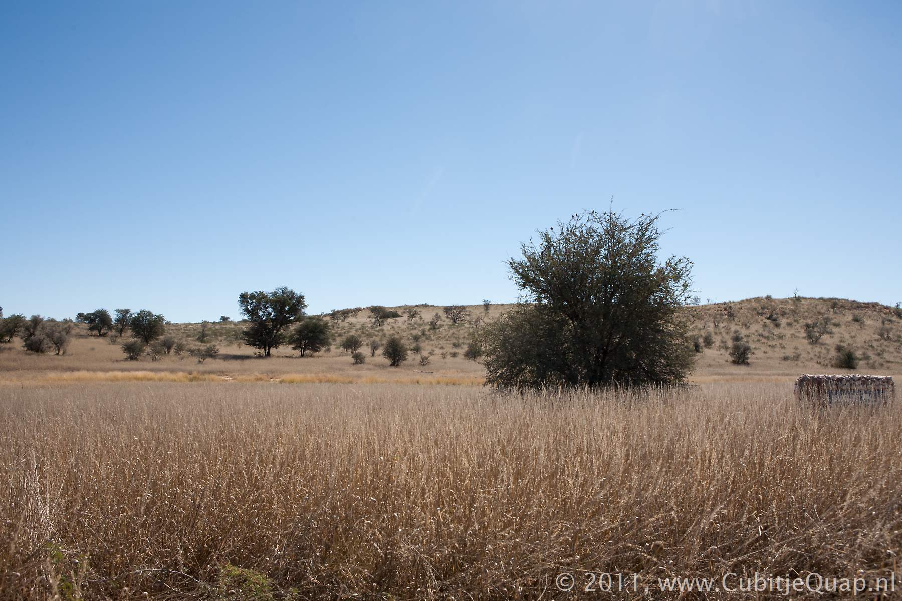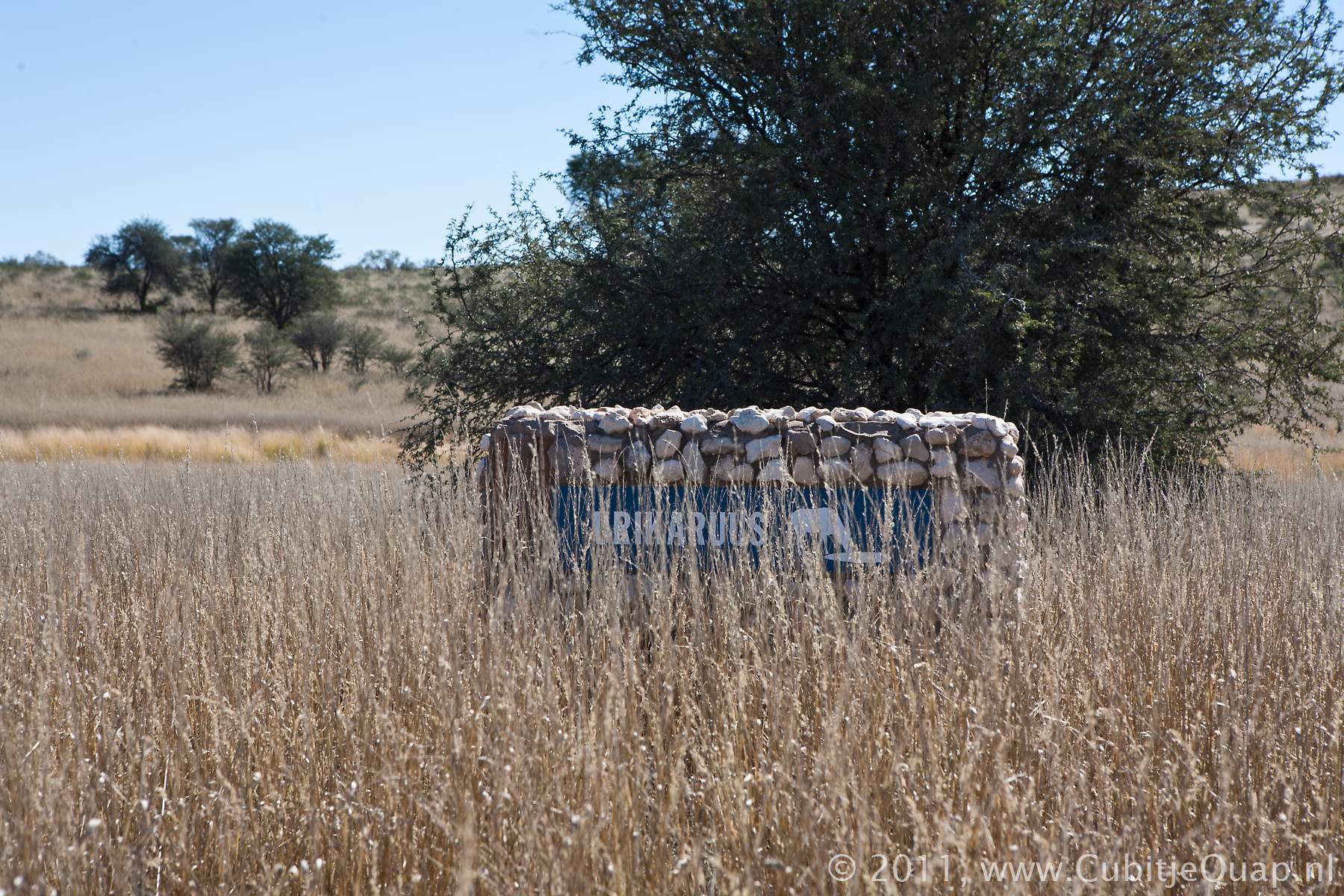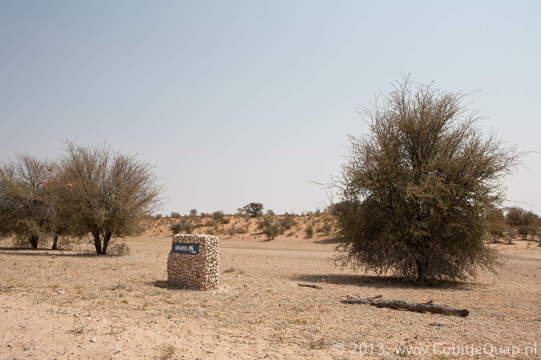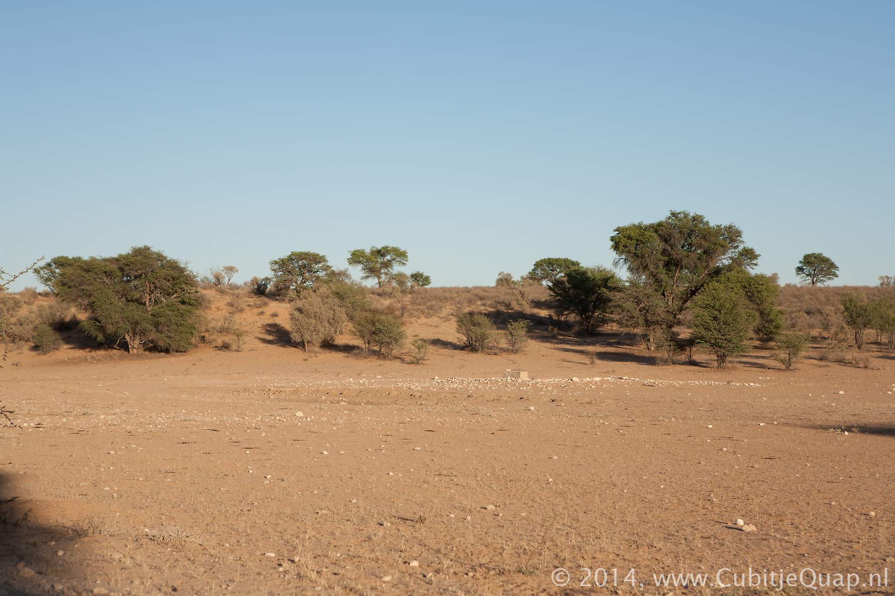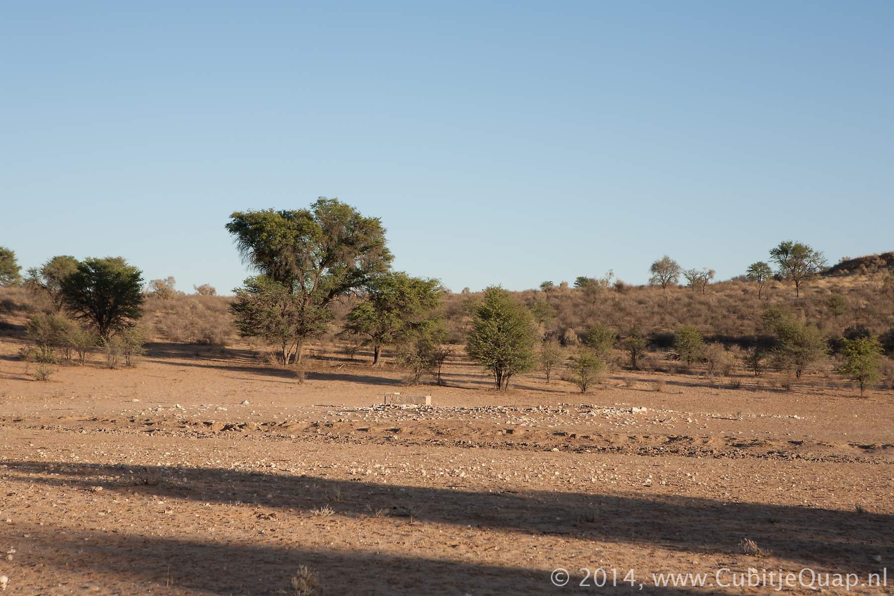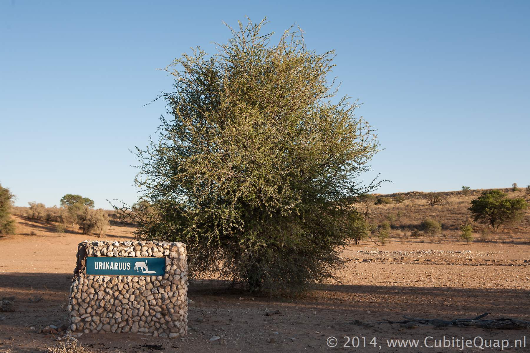
Urikaruus waterhole
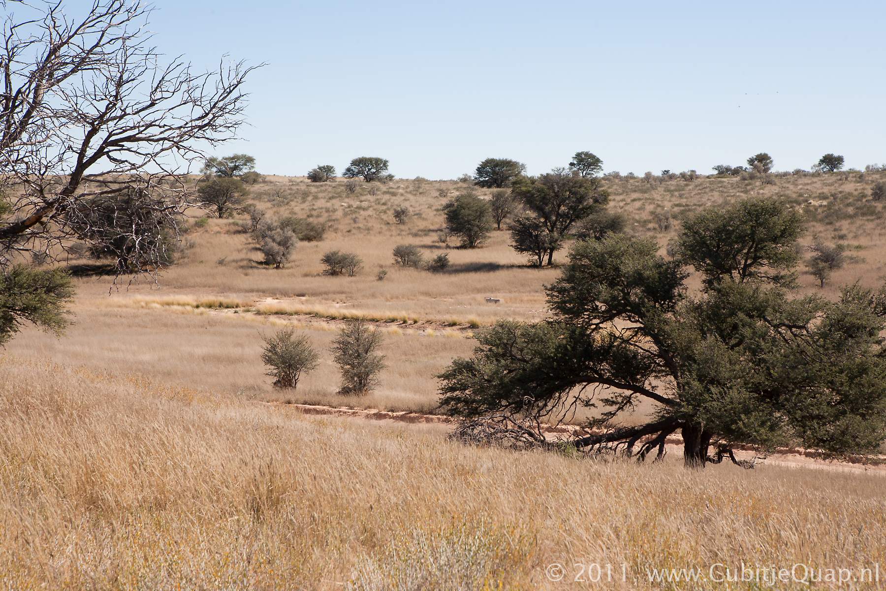
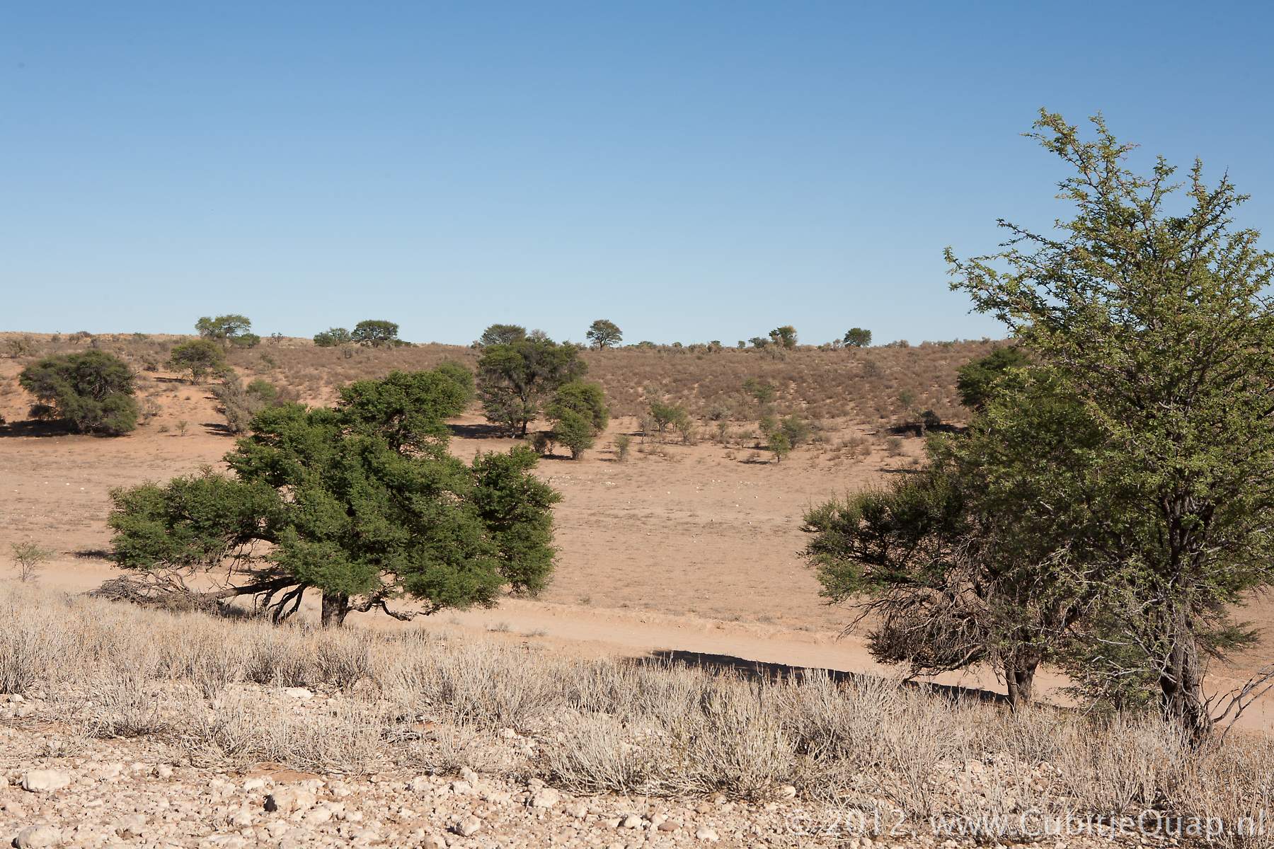
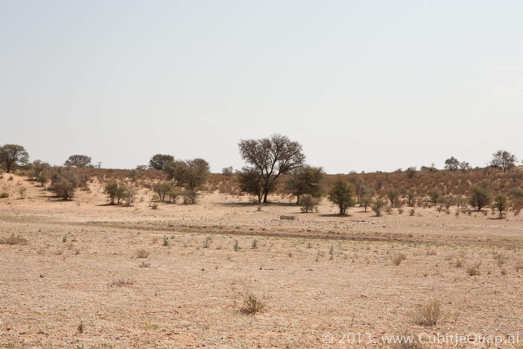
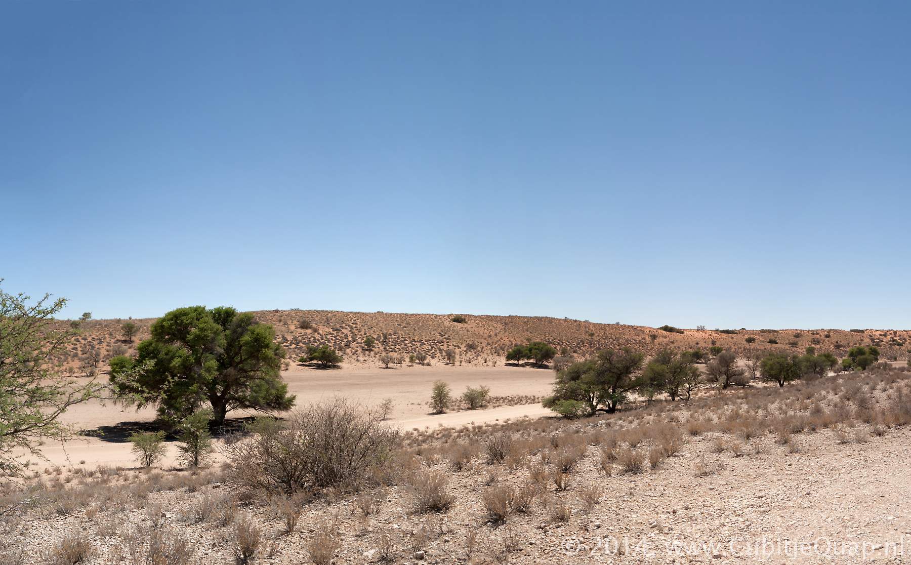
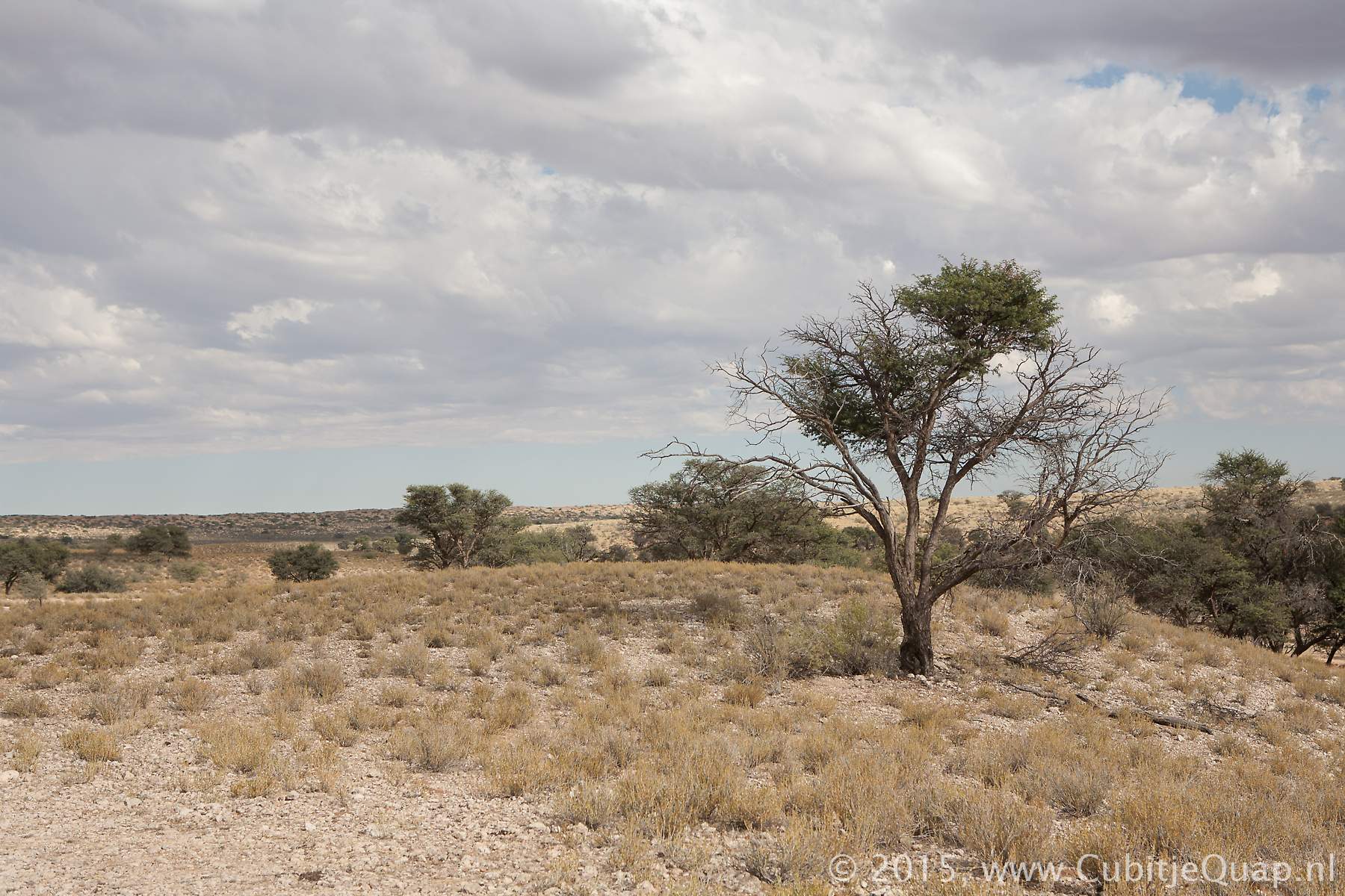
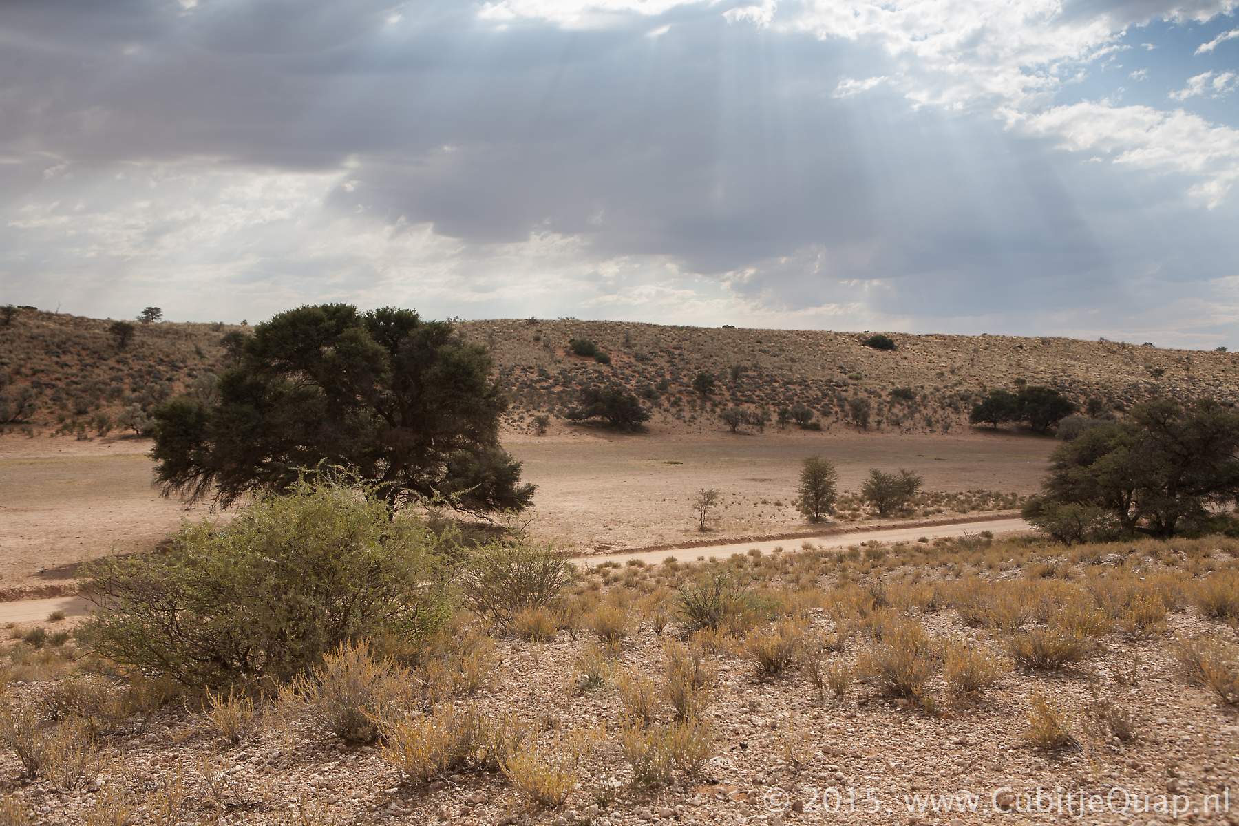
Explanation of name: Urikaruus stands for white limestone.Photography: The waterhole is situated just north of the road, in the Auob riverbed. If the grass is rather high, it's difficult to see from the road. However, there is a small viewing area on top of the southern bank of the Auob river, giving a nice overview of the Auob river. A little bit south is the Urikaruus Wilderness Camp where there's another waterhole in the Auob river. The chalets of the Wilderness Camp are on the northern shore of the Auob.
GPS Coordinates: S25 59 47.1 E20 20 28.2 (Google Maps)