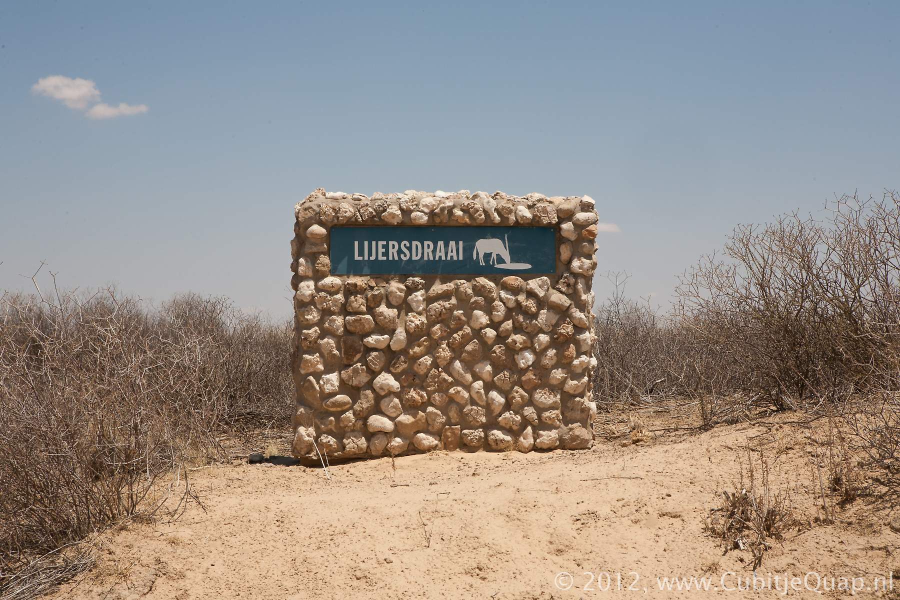
Lijersdraai waterhole
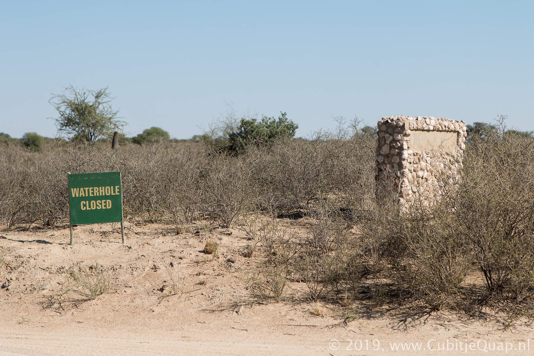
Explanation of name: Afrikaans "Draai van die rivier lyk soos n babadoek wat toegespeld is". In English: Turning of the river looks like a babynappy which is folded.Early 2019 the Lijersdraai waterhole was moved from its location north of the picnicspot to a new location slightly south of the picnic area
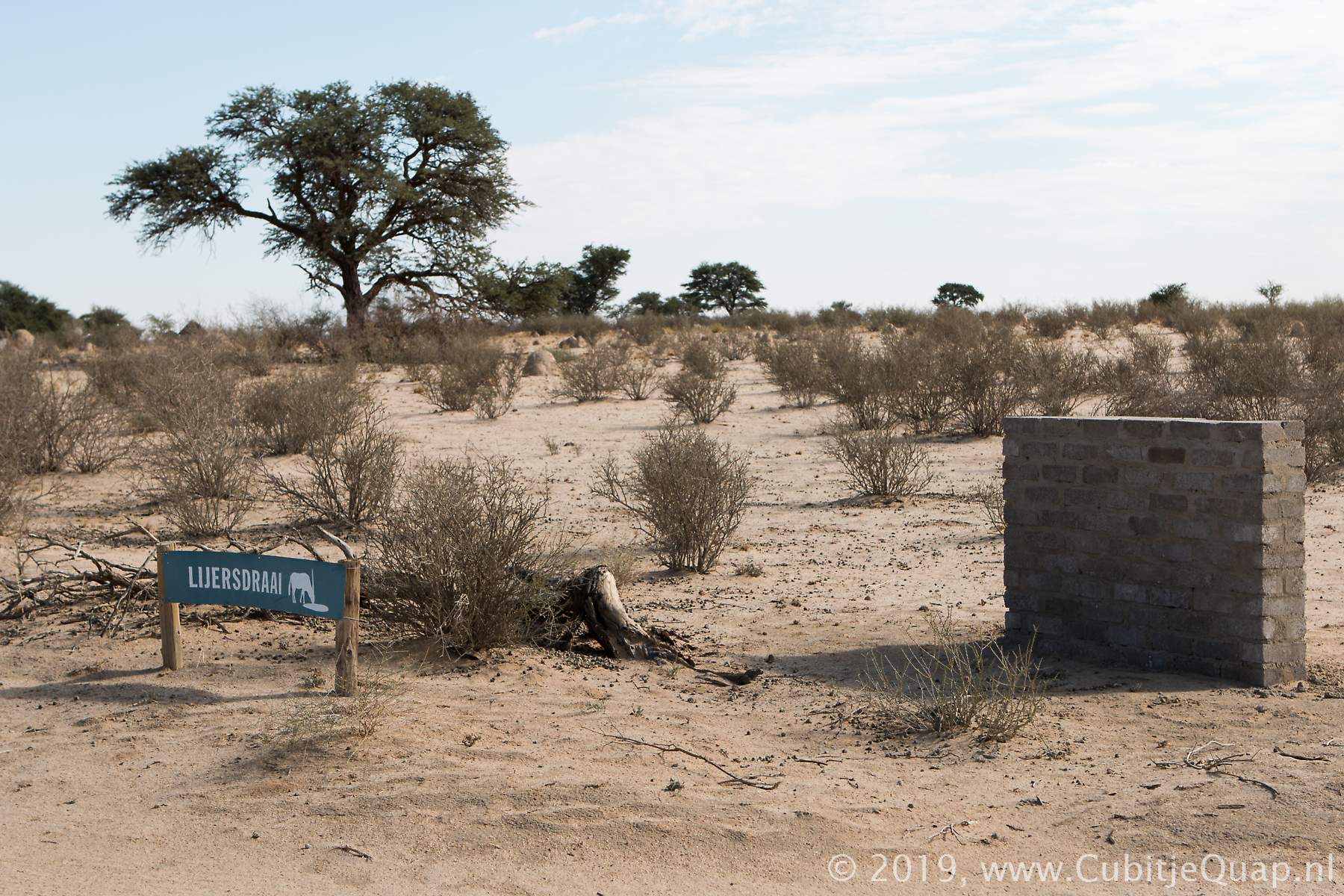
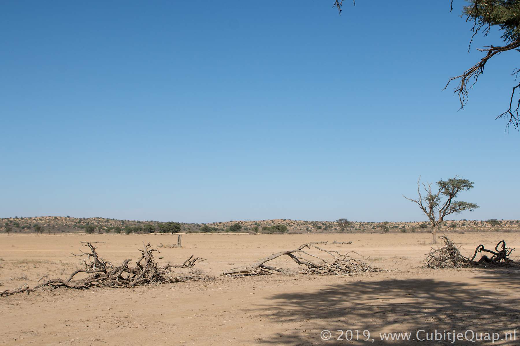
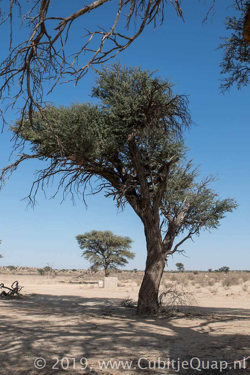
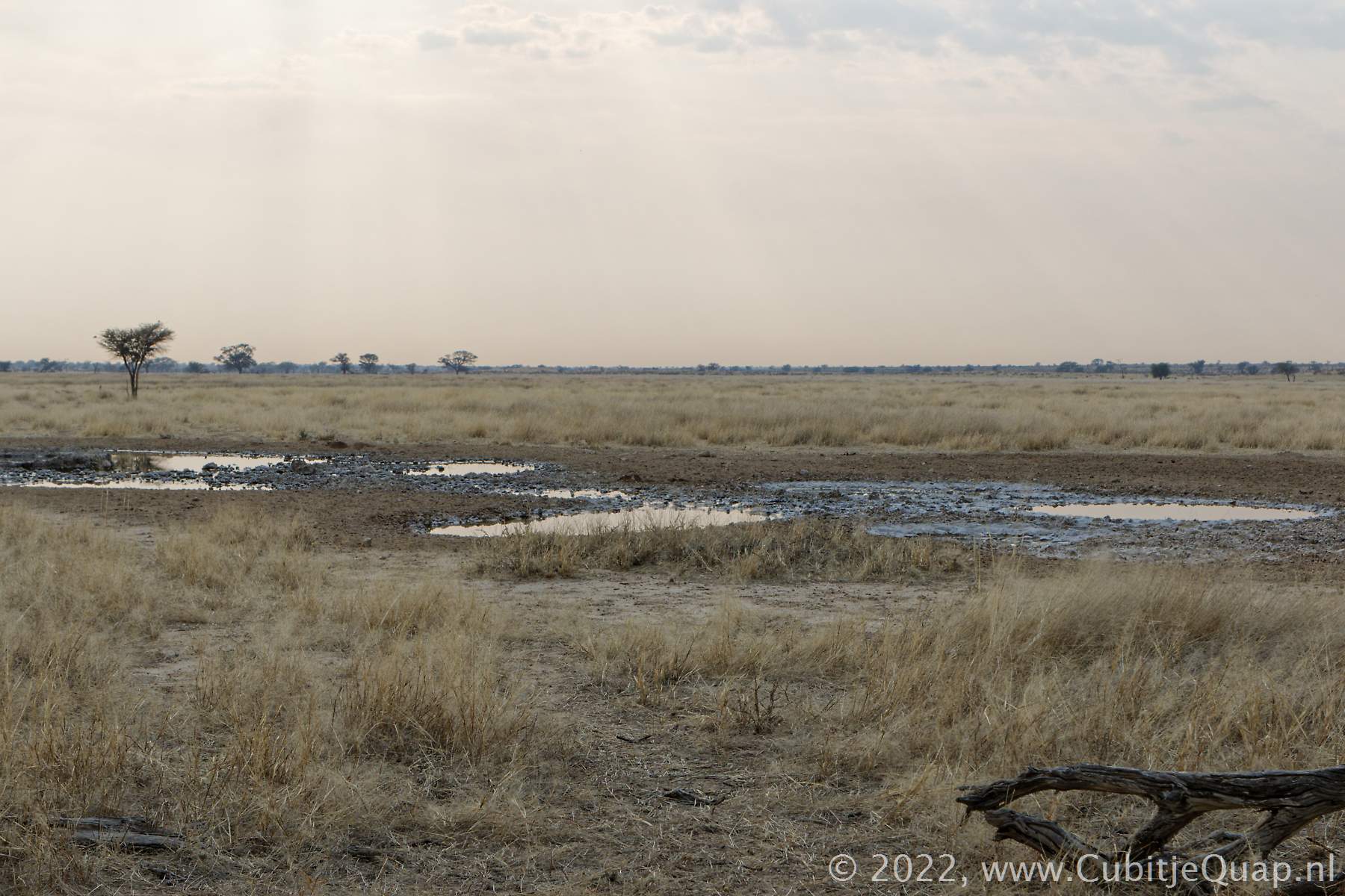
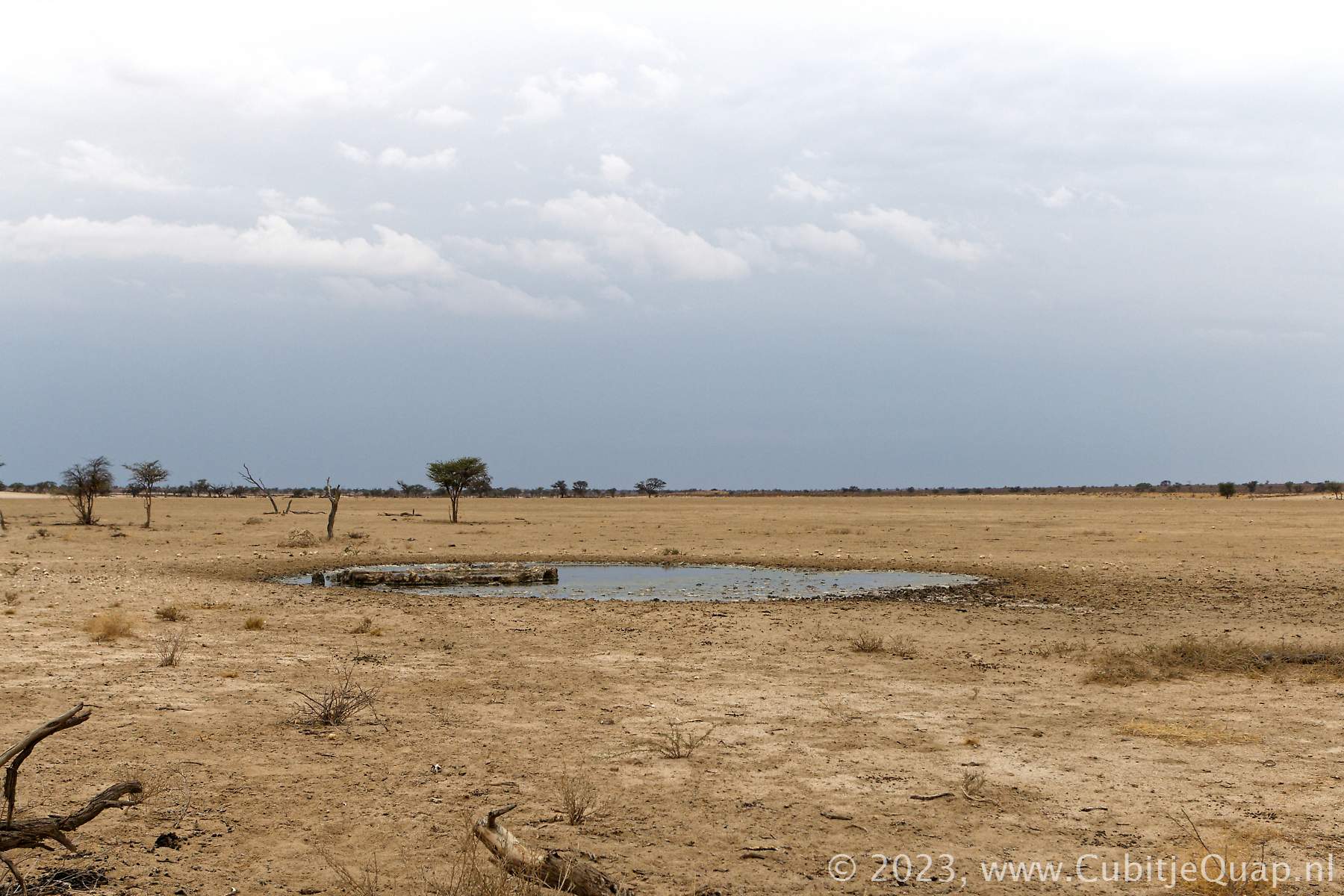
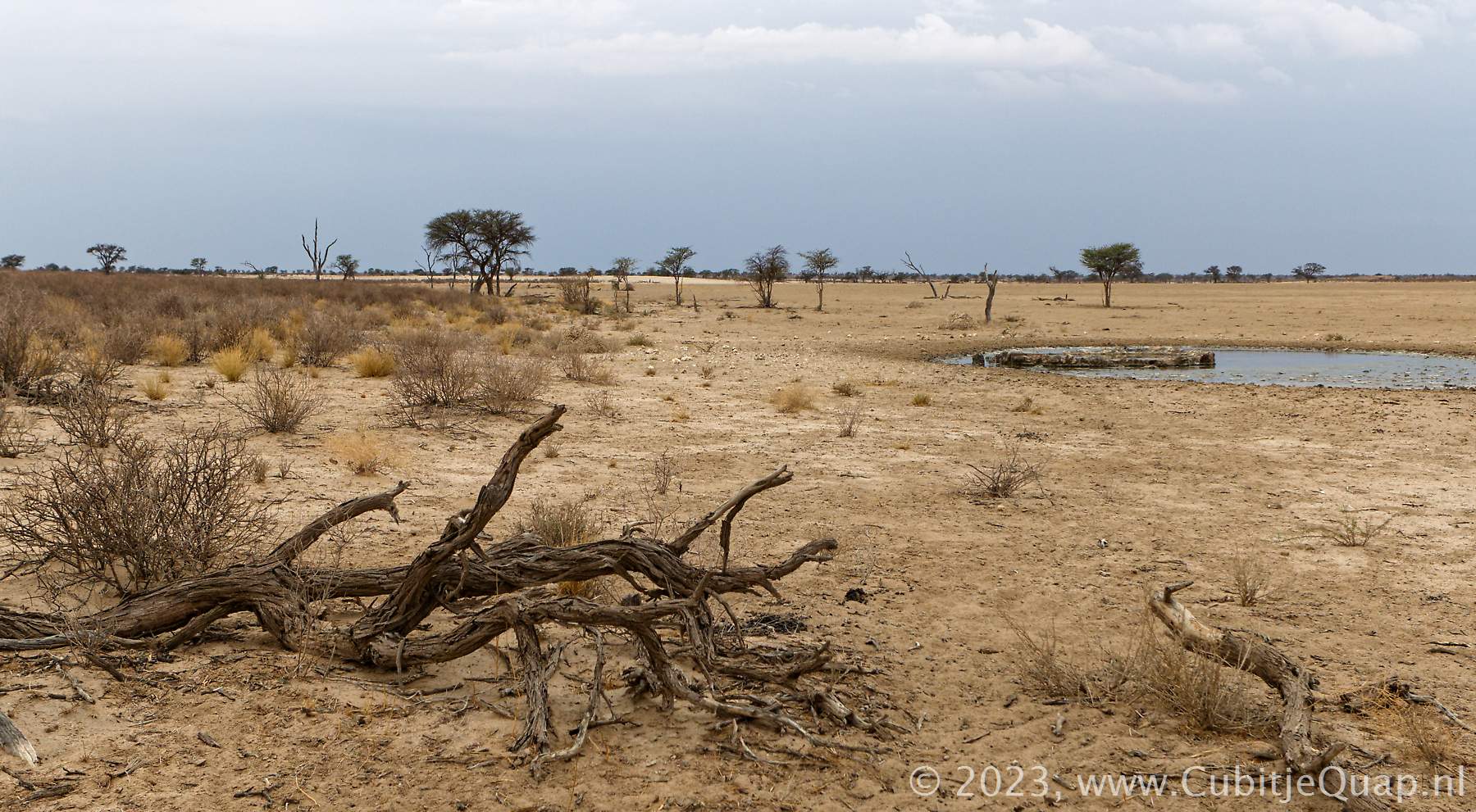
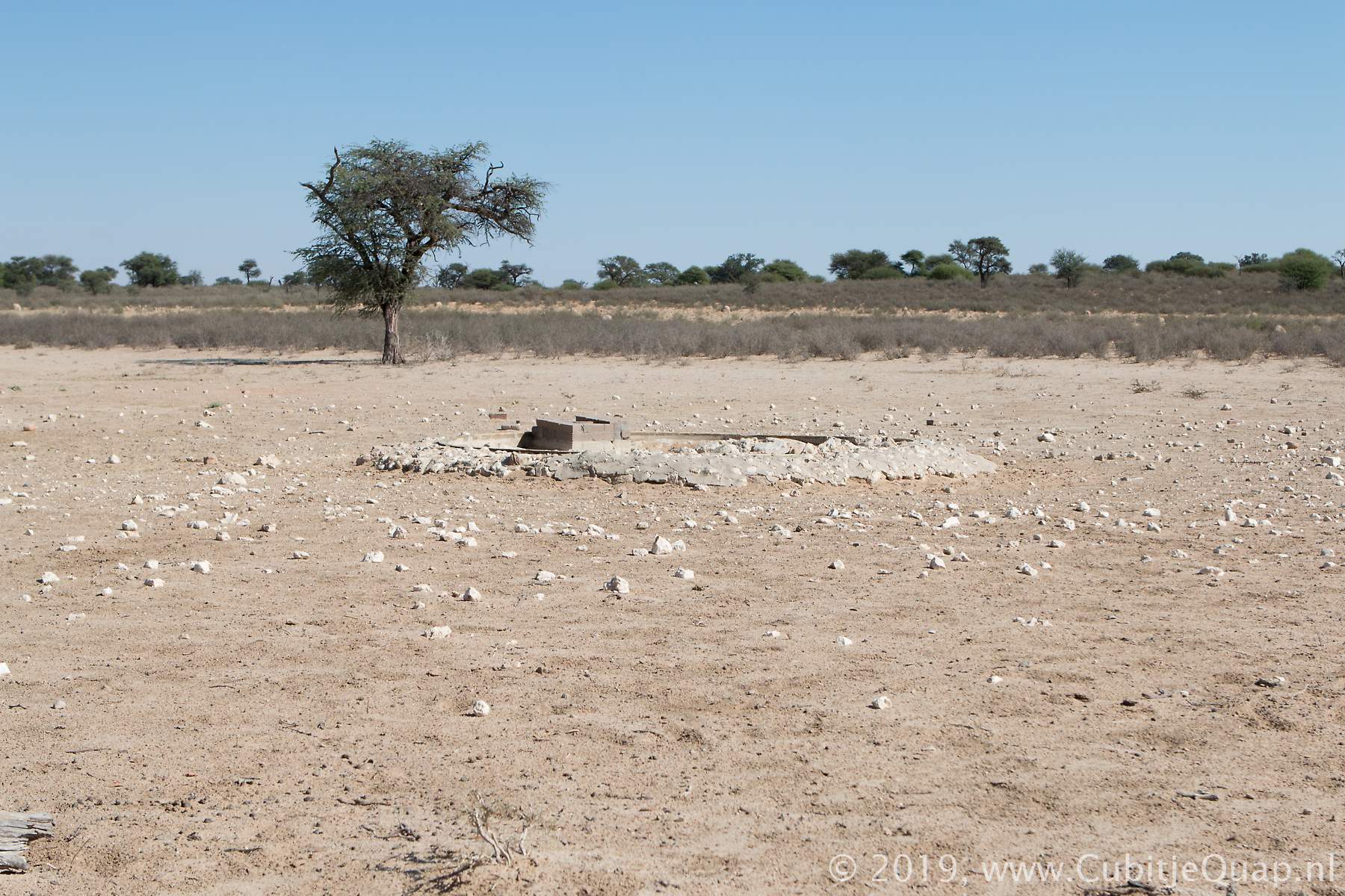
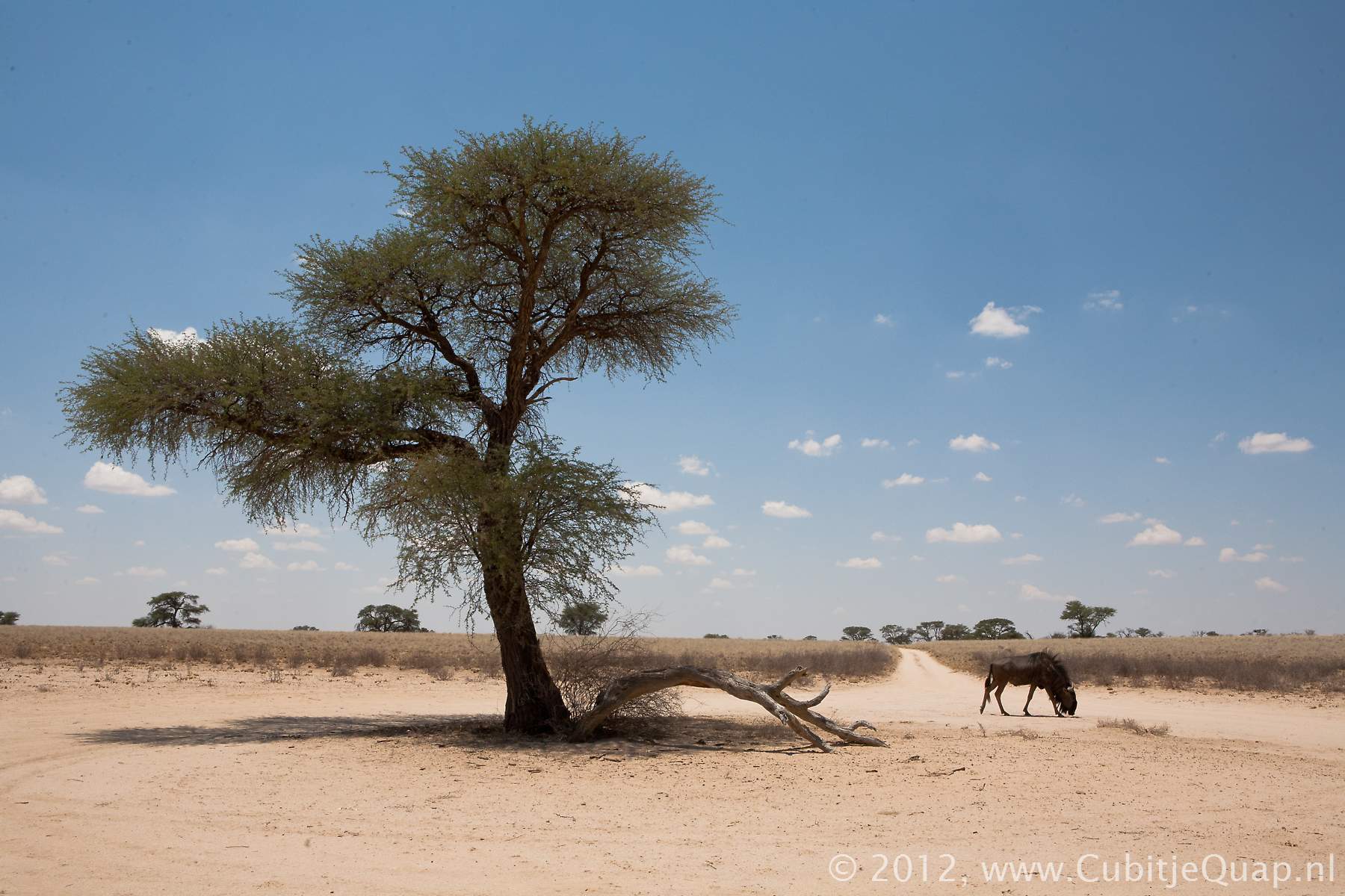
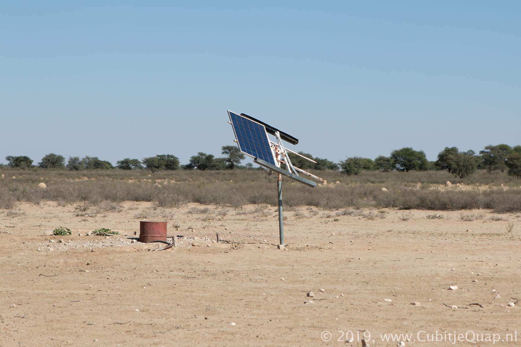
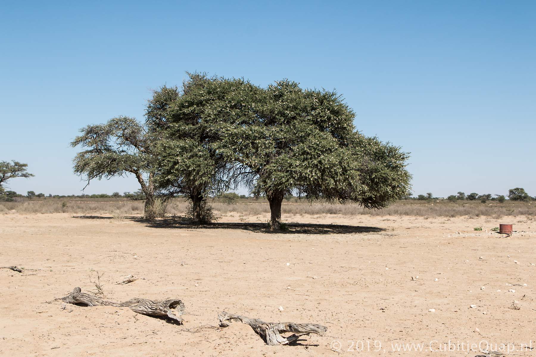
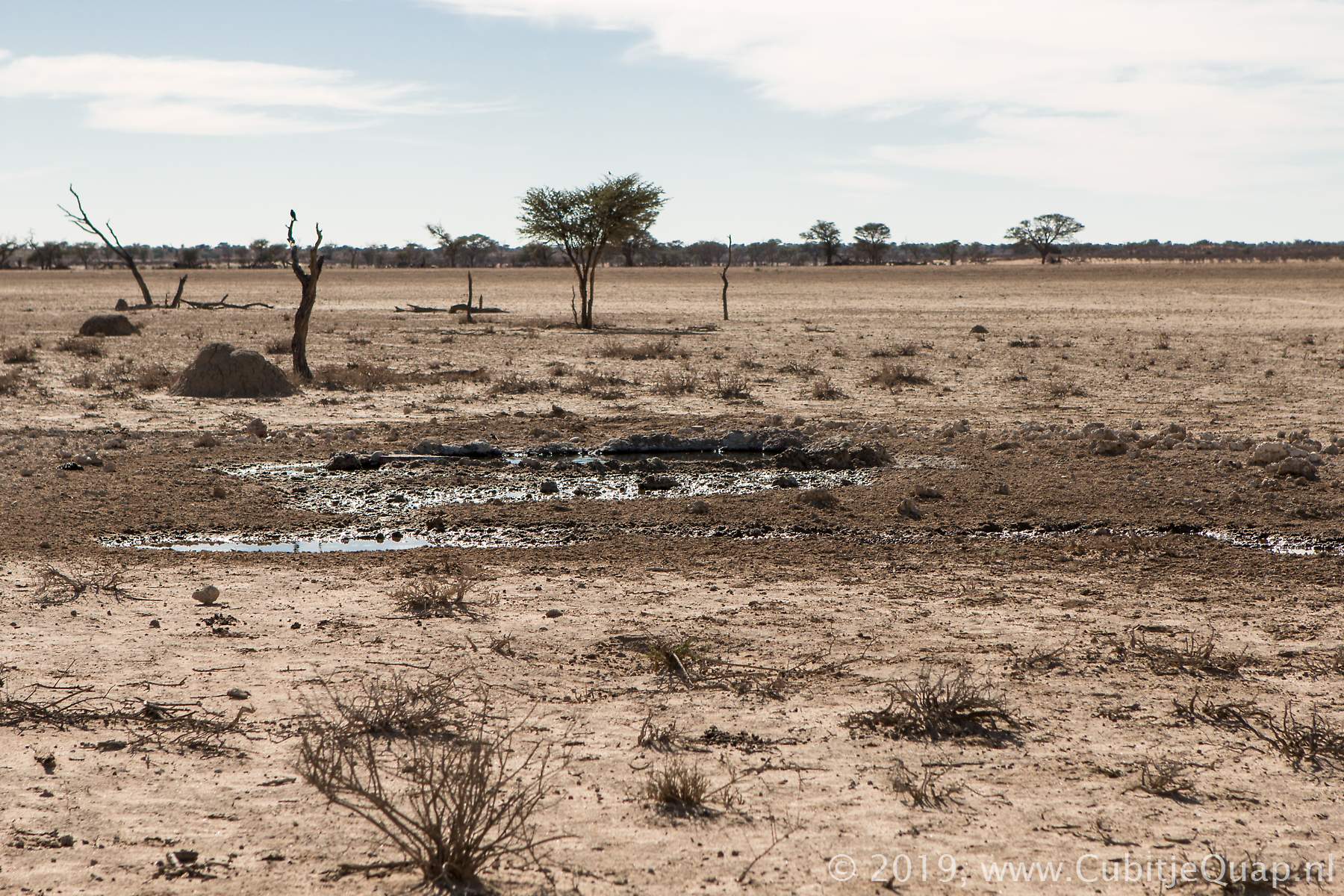
The new Lijersdraai waterholePhotography: The waterhole is located on the eastern side of the main road. A tree offers some shade.
GPS Coordinates: S25 01 43.44 E20 21 0.20 (Google Maps)
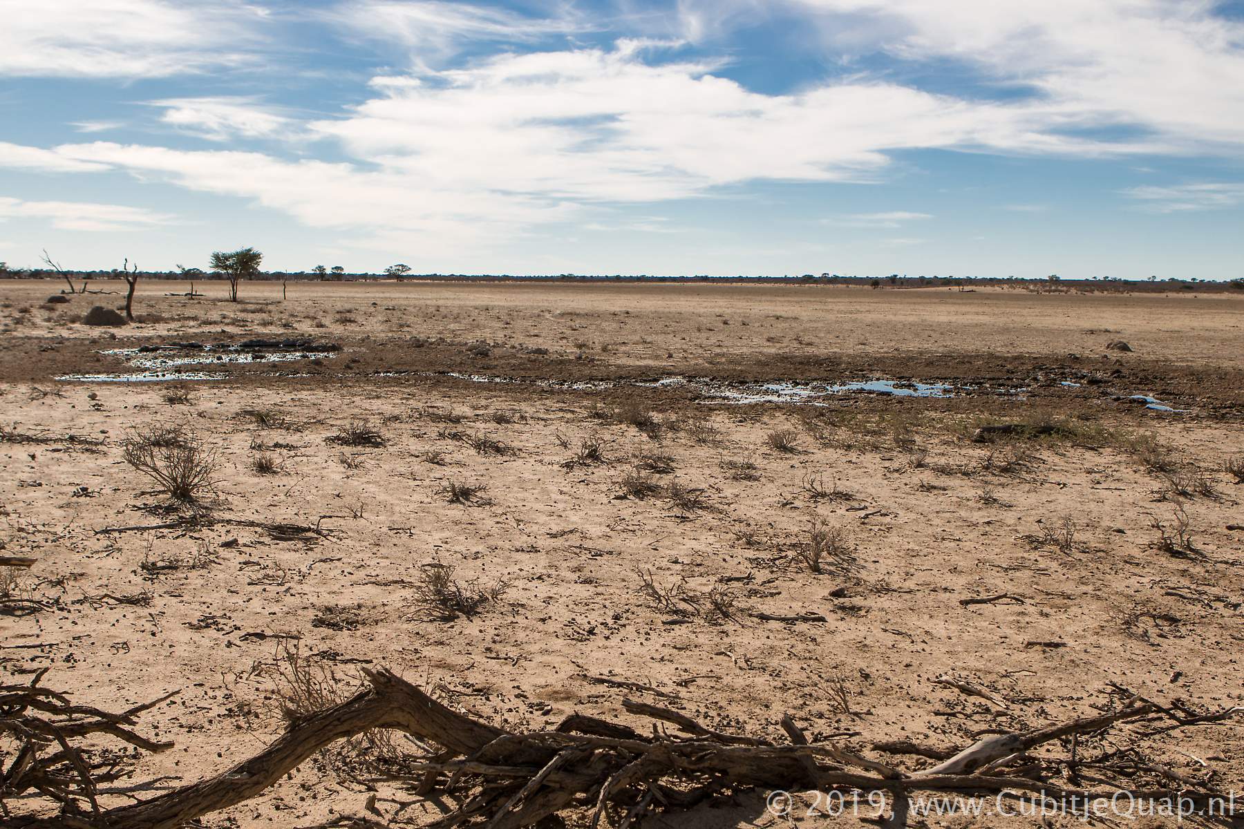
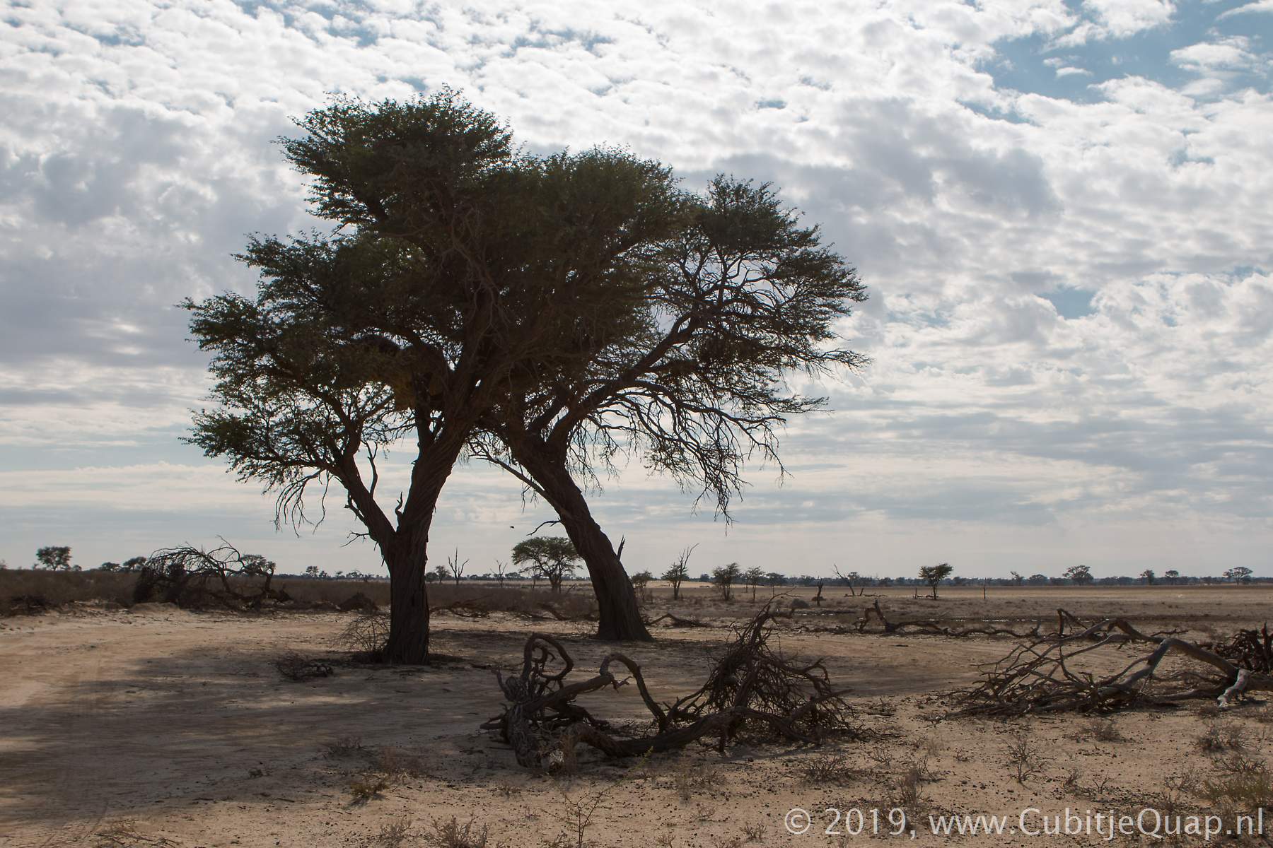
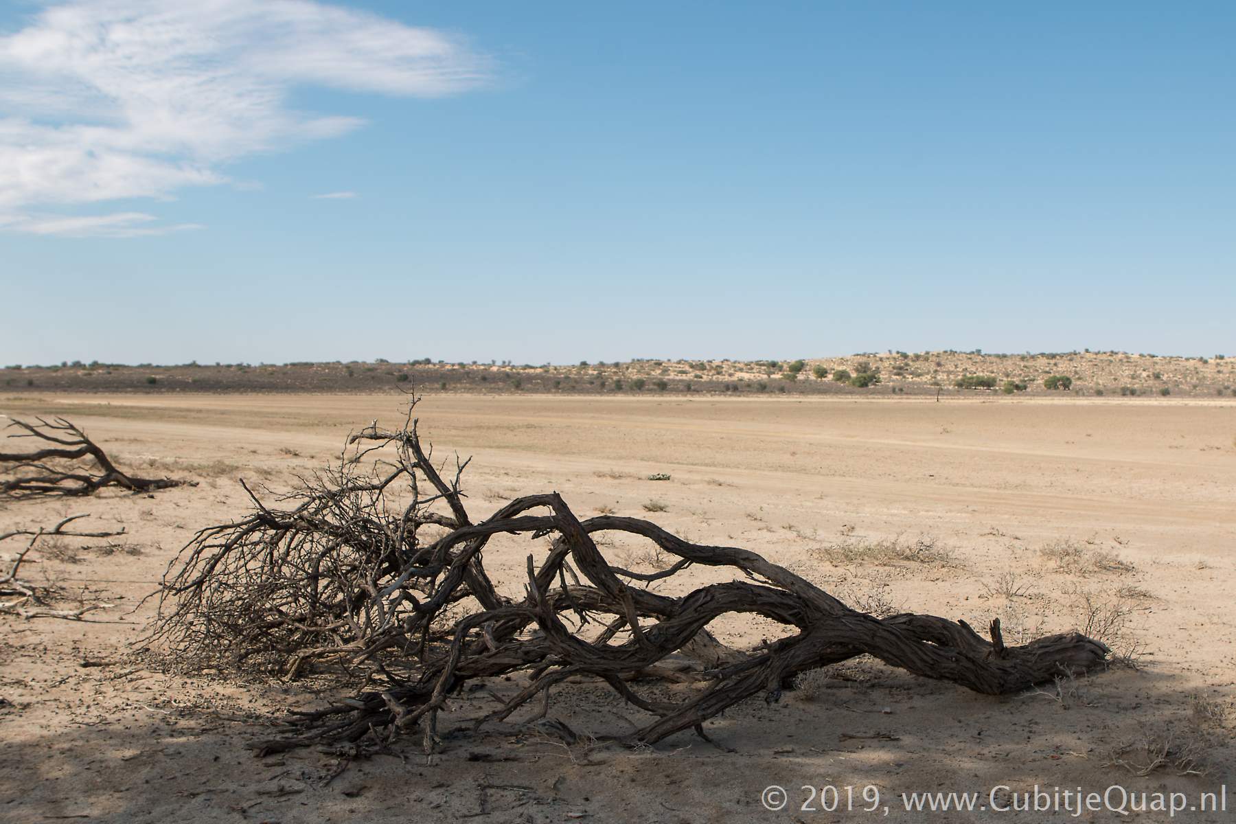
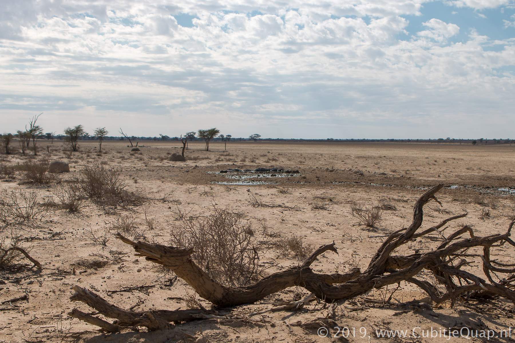
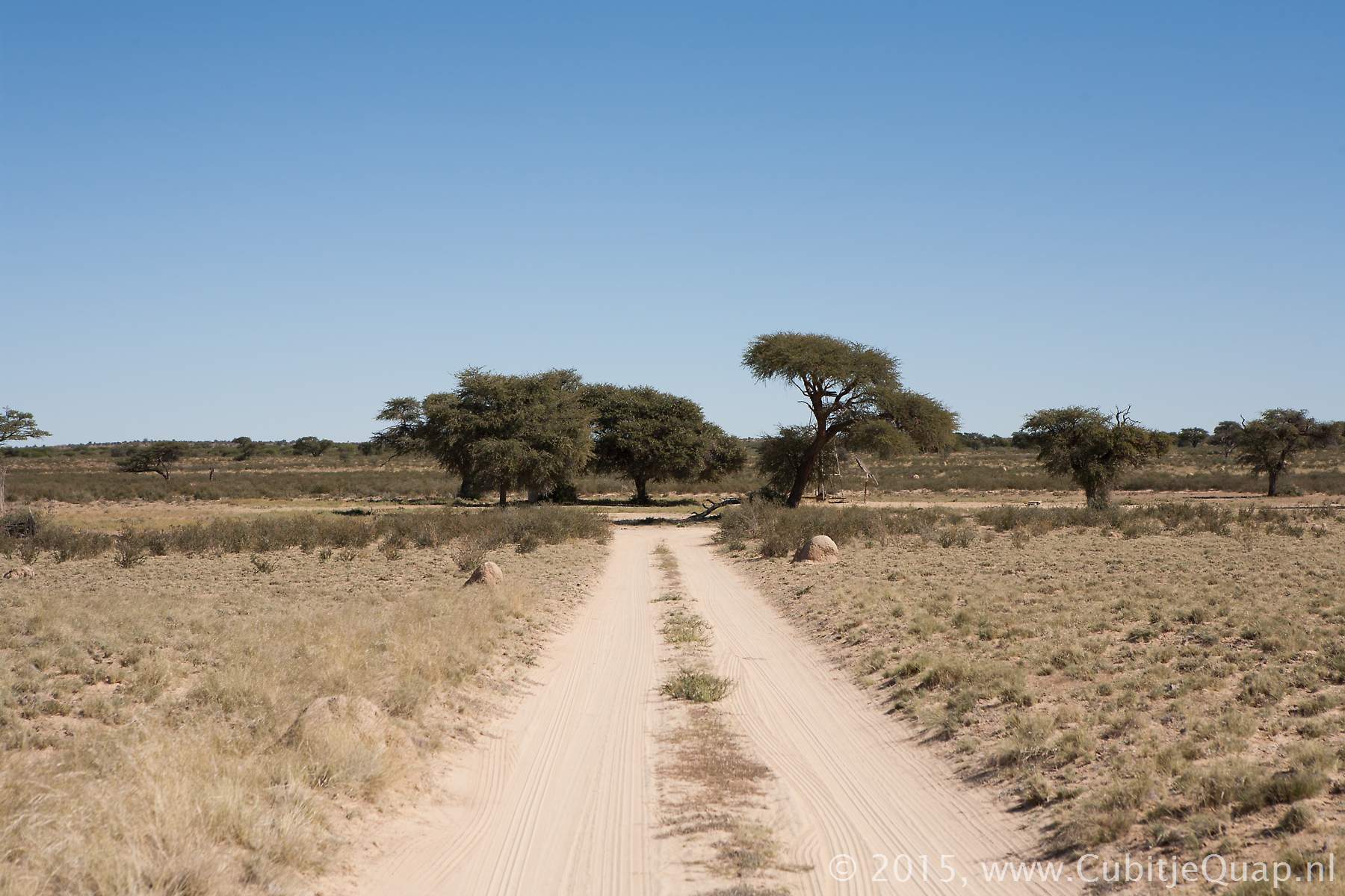
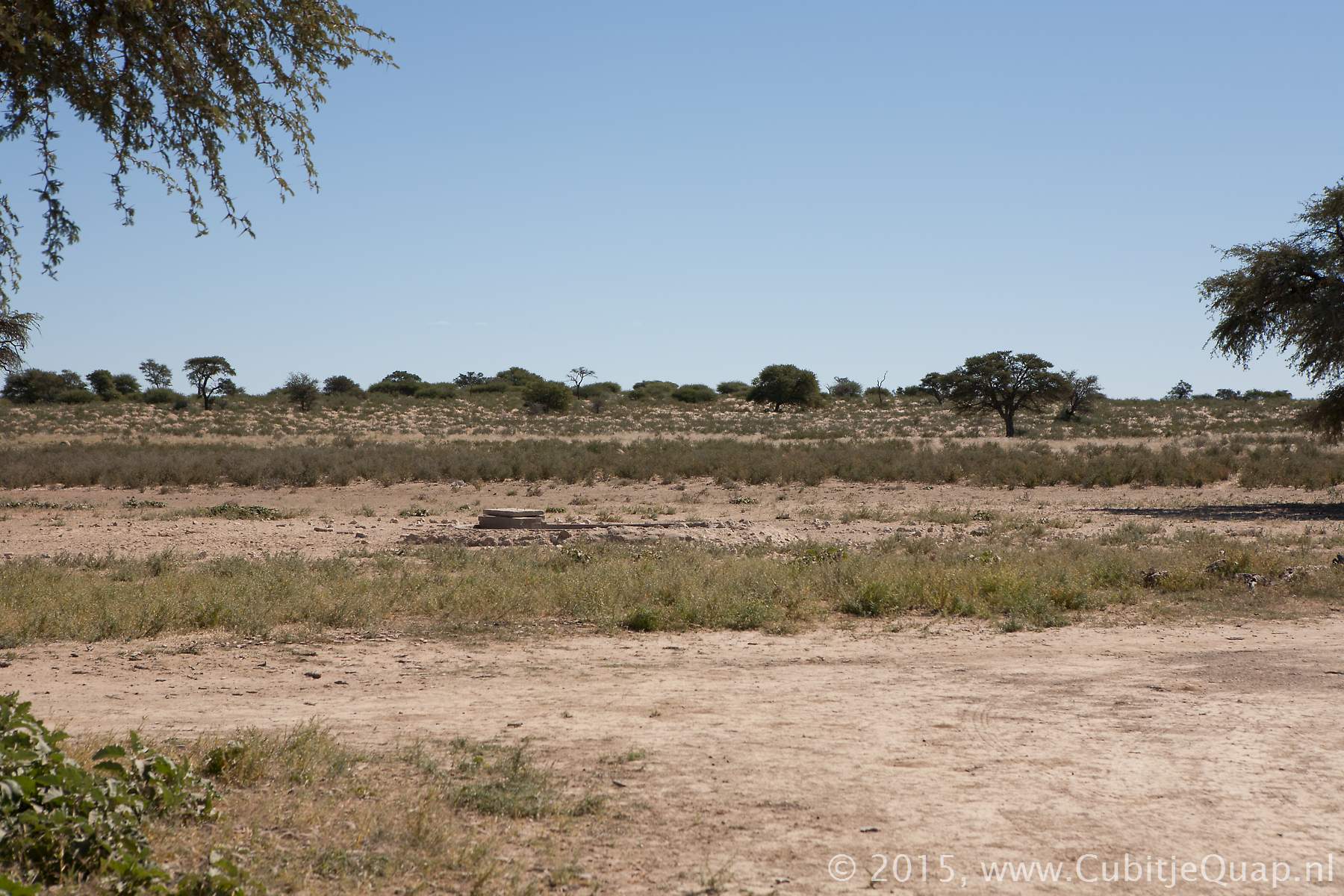
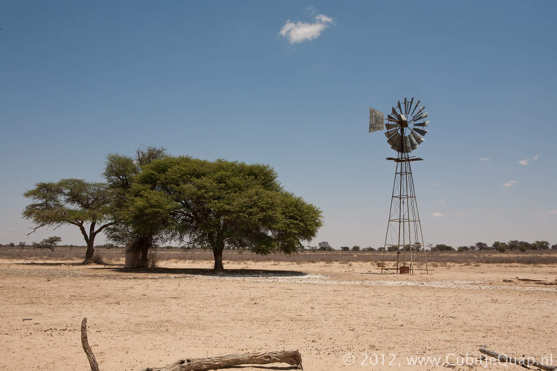
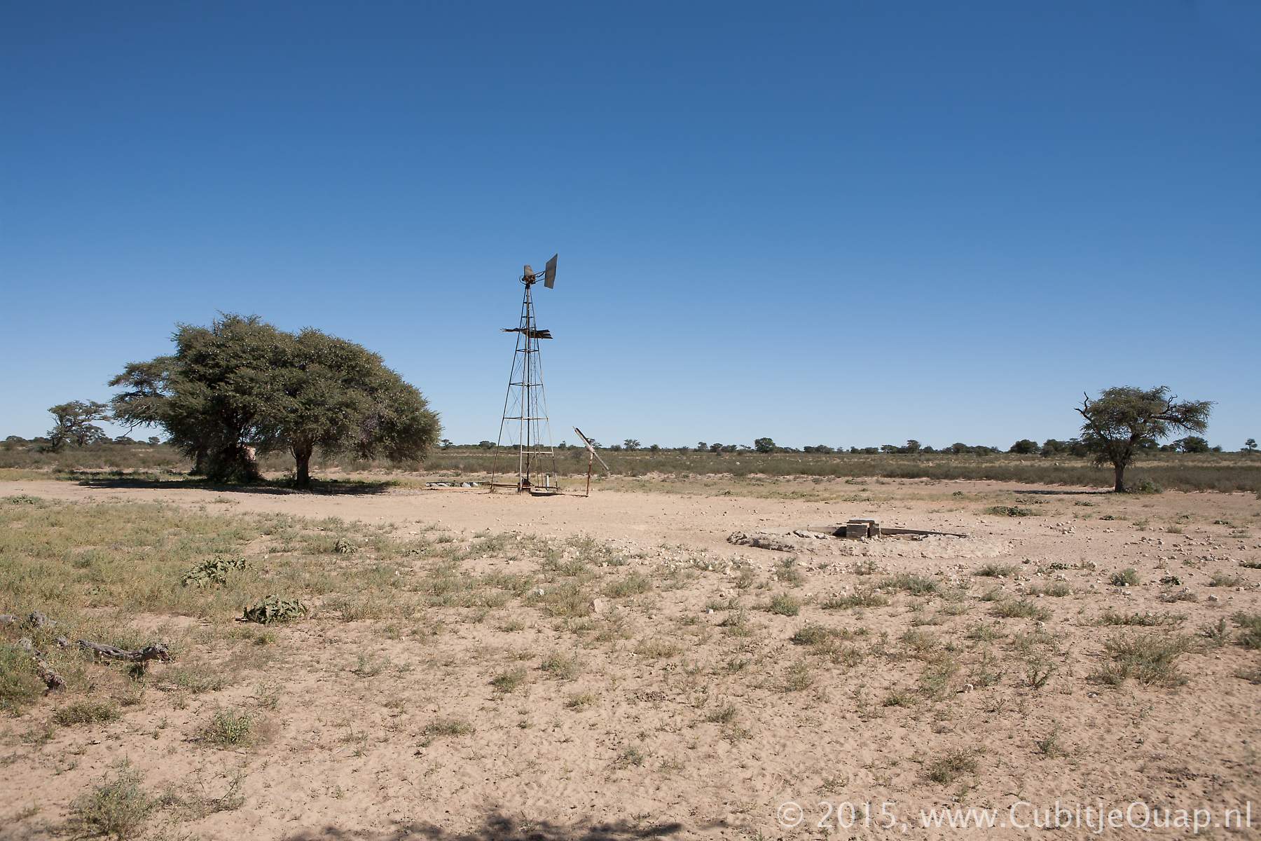
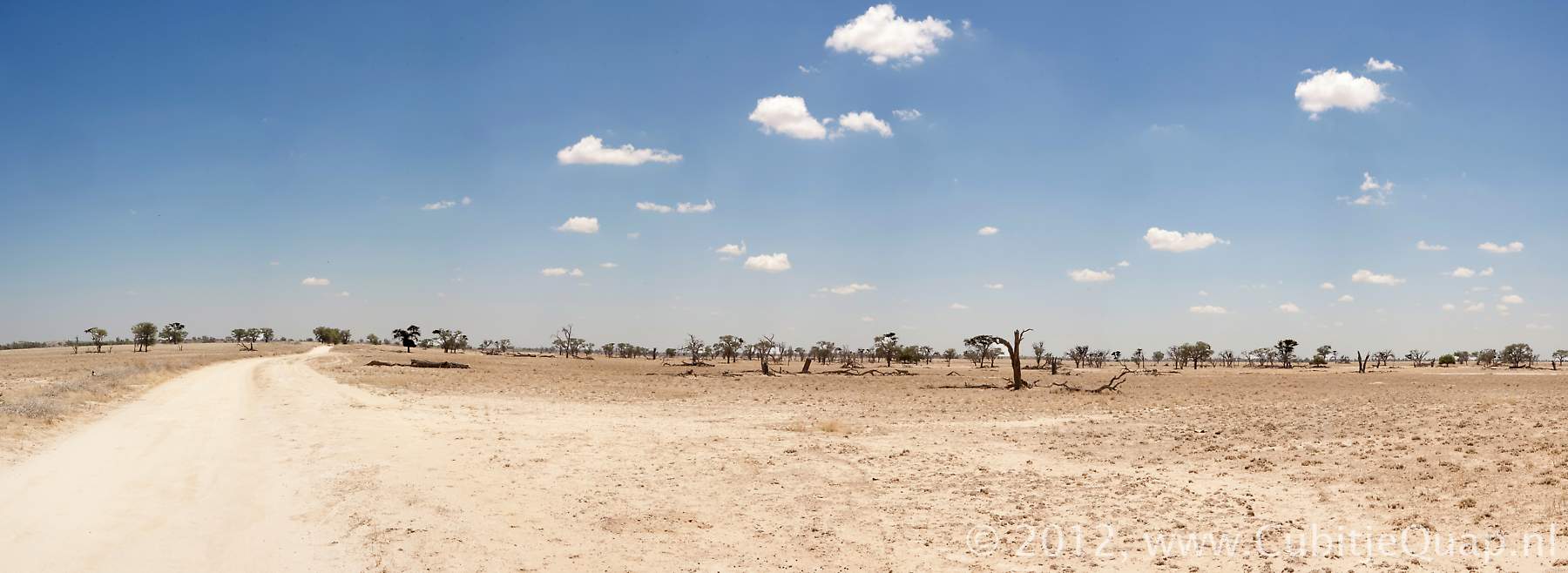
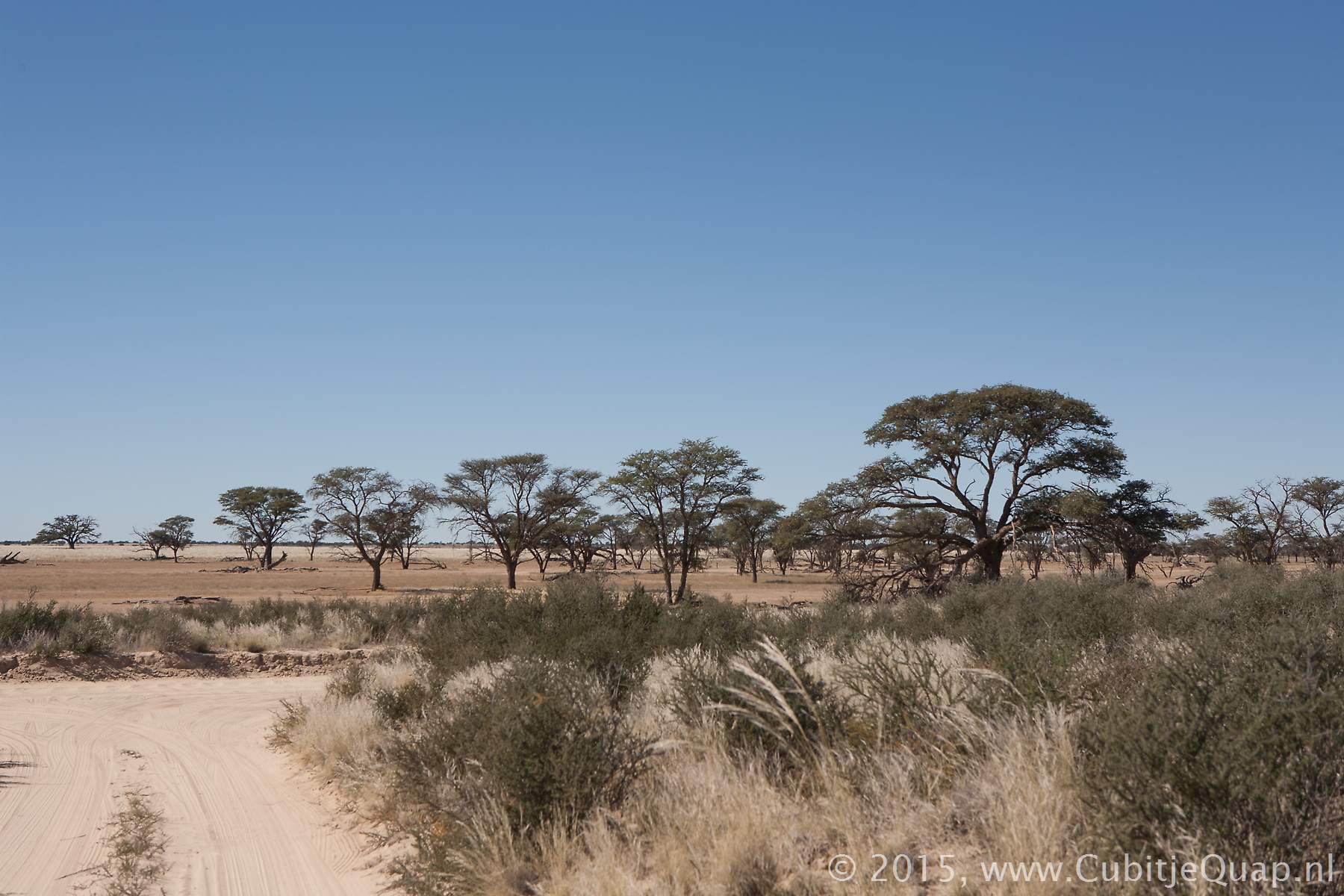
The old Lijersdraai waterhole (before 2019)Photography: A looproad leads to the waterhole, which is located to the western side of the main road.
GPS Coordinates: S25 00 12.4 E20 19 24.9 (Google Maps)